Sunframe does one thing first: it shows you exactly where the light falls, on any street, any day, at any minute. Editing, export and the camera are simply ways to do something with that light.
One day in Sunframe
Sunrise to sunset · real captures from the app
Wake up anywhere
Start on a globe that shows where it's day and night right now. Search a city, a village or a coordinate, and 3D buildings, bridges and walls stream in around you, from Overture's 2 billion+ footprints.
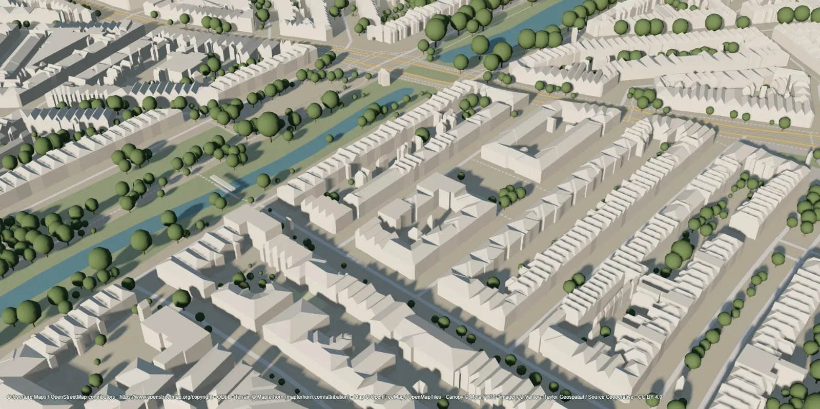
Real trees, real hills
Trees grow where satellite canopy data says they are, at their measured heights. Terrain comes from global and national elevation data, so hills shade the streets below them too.
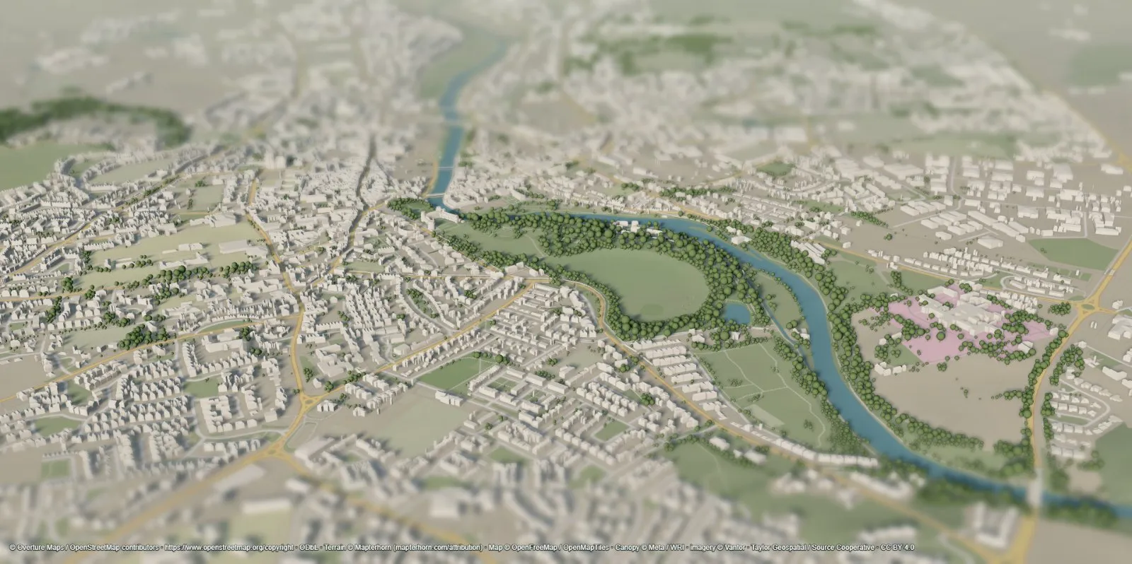 CHMv2 canopy heights
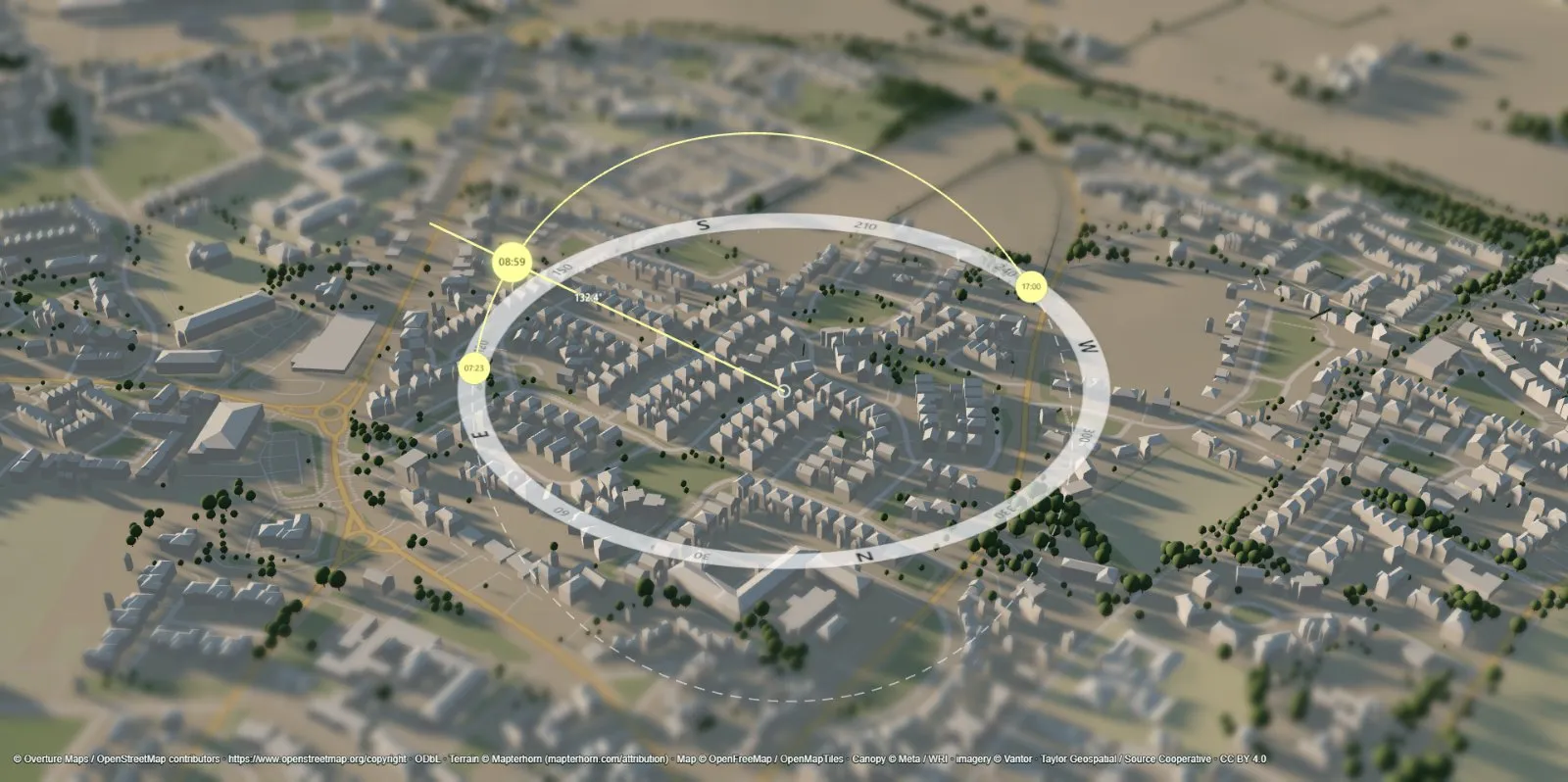
Scrub the sun
Drag through any hour of any day of the year and watch every shadow move. The sun path compass shows sunrise, sunset and where the sun is right now, in the place's own time zone.
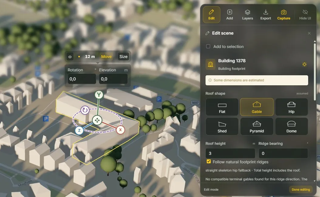
Change the scene, see the new shadows
What if that block were taller? Move, resize, recolor or hide any building, switch its roof between six shapes, or add boxes, cylinders and trees. Shadows update instantly; edits save automatically with full undo.
Bring your own models
Drop a GLB, glTF, OBJ or STL design into the real neighborhood, set its units and orientation, and see exactly how it shades its surroundings, and how they shade it.
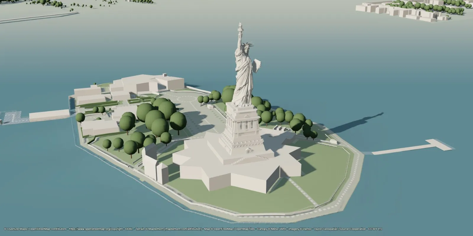
Capture the light
Save a 4K still, or record shadows sweeping across the city as video or GIF. Choose a lens from 12 to 120 mm and add a miniature tilt-shift blur. The interface stays out of the shot; data credits stay in.
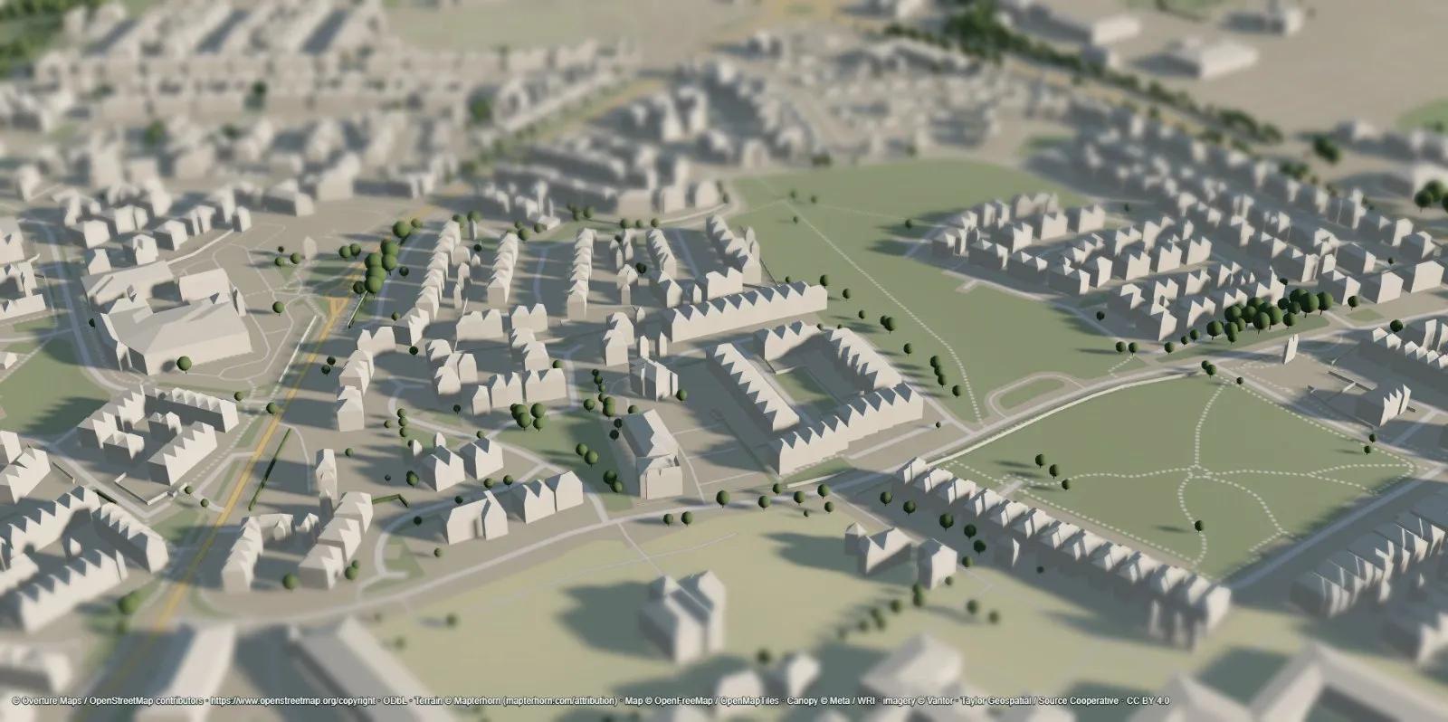 REC 00:04 · 1920 × 957
Take it home
Draw an area up to 1 km² and download it, edits included, as a real 3D model for Blender, game engines, CAD or a 3D printer. Or copy a link to the exact view.
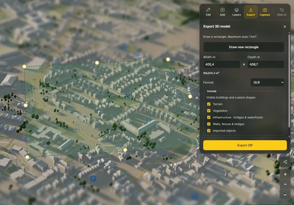
Accurate light needs accurate context
See coverage & comparison →buildings, merged from OpenStreetMap and machine-mapped footprints by Overture Maps.
canopy sampling from the Meta / WRI global tree height map. Shade from trees, not decoration.
global terrain, sharper where national elevation data exists. Hills and valleys cast shadows too.
Also in the box
Bridges, walls and hedges
Piers, quays, fences and hedges built from mapped data.
Share a view
A link to the exact camera, lens and blur. No account on either end.
Runs on your device
No uploads, no analytics, no sign-in. Your edits stay in your browser.
Live or simulated time
Follow the real clock, or jump to the winter solstice.
Metric or imperial
Every dimension and export area in the units you think in.
Built on open data
Overture, OpenStreetMap, CHMv2 and Mapterhorn, credited in every capture.
Free at launch
Everything is free. No account, no card, no catch.
Every feature works today without signing up. The 1 km² export cap is what a browser can process comfortably, not a paywall. If Sunframe finds its community, optional extras may come later. Supporters will hear first.